
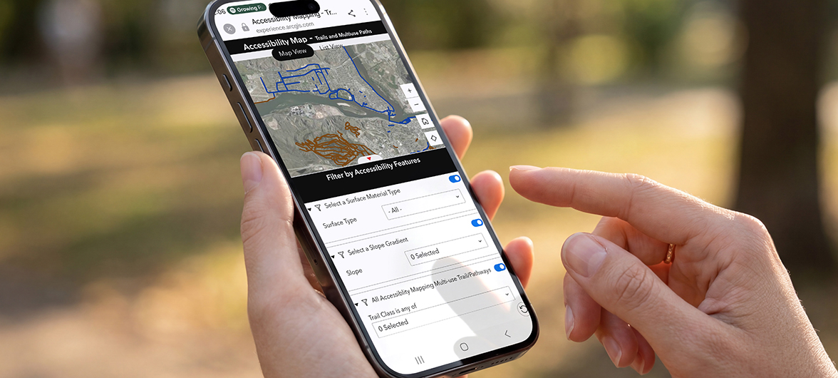
What began as an action item in the City of Kamloops' 2023 Accessibility Plan has grown into a valuable new resource designed to help residents and visitors confidently choose trails and multi-use pathways that match their needs and abilities.
In fall 2025, development began on a new Trails and Multi-Use Paths Accessibility Map, including an updated map of accessible public washrooms. The map identifies accessible features in both outhouse-style and conventional public washrooms throughout City-maintained parks and trail systems. The project brought together City staff and members of the Accessibility Engagement Group to reimagine how the City shares trail information.
The Accessibility Engagement Group, a community advisory group that helps guide the City's work toward the 64 actions outlined in the Accessibility Plan, played a key role in shaping the map. Working closely with City GIS and Social, Housing, and Community Development staff, members identified the information that would make planning a walk, roll, or hike easier for everyone.
Together, the team focused on answers to the questions people often have before heading outdoors: How steep is the trail? What is the surface like? How wide is the path? Is there a nearby washroom or bus stop? Will the route be quiet or close to busy roads?
The result is an innovative mapping tool that provides detailed accessibility information, including:
- trail classifications based on surface type, width, and average and maximum grades, complete with visual examples of each trail class
- distance from common noise sources, such as highways and railway tracks
- detailed trail profiles that show the length and grade of uphill and downhill sections
- locations of nearby bus stops and public washrooms
By putting this information at users' fingertips, the map helps remove barriers and supports more informed decisions before people leave home.
"Working with City staff on this new resource was an affirmative process for me as someone with a profound hearing loss," said Shelley McGuinness, Kamloops resident and member of the Accessibility Engagement Group. "Because hearing aids amplify sound, environmental noise can be overwhelming. The noise-location feature on the new Accessibility Map will help people like me better plan our trail visits."
The Trails and Multi-Use Pathways Accessibility Map will also be promoted through Tourism Kamloops, helping visitors discover outdoor experiences that meet their needs while enjoying all that Kamloops has to offer.
This project is a great example of accessibility in action, demonstrating how collaboration between community members and City staff can create practical tools that improve access, inclusion, and enjoyment of our shared outdoor spaces.
Both maps are available online on the City's Maps & Apps webpage.