
Over the past few years, there has been a rise in outdoor activities in local parks, such as hiking, mountain biking, and exploring. With more people on the trails, unexpected emergencies like accidents or health concerns have also increased, and locating those in need often poses a challenge. Kamloops Fire Rescue has implemented an innovative solution to improve safety for those enjoying the scenic nature trails.
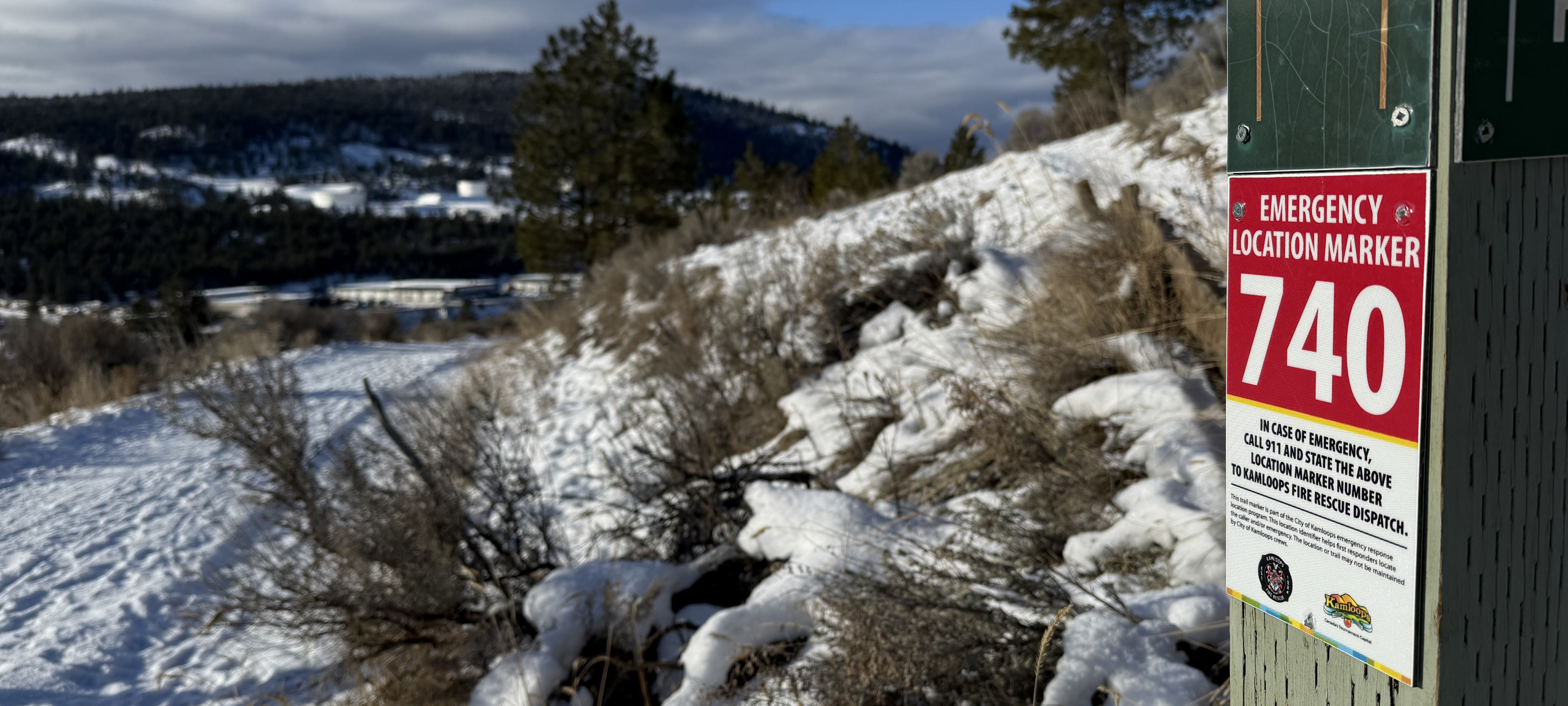
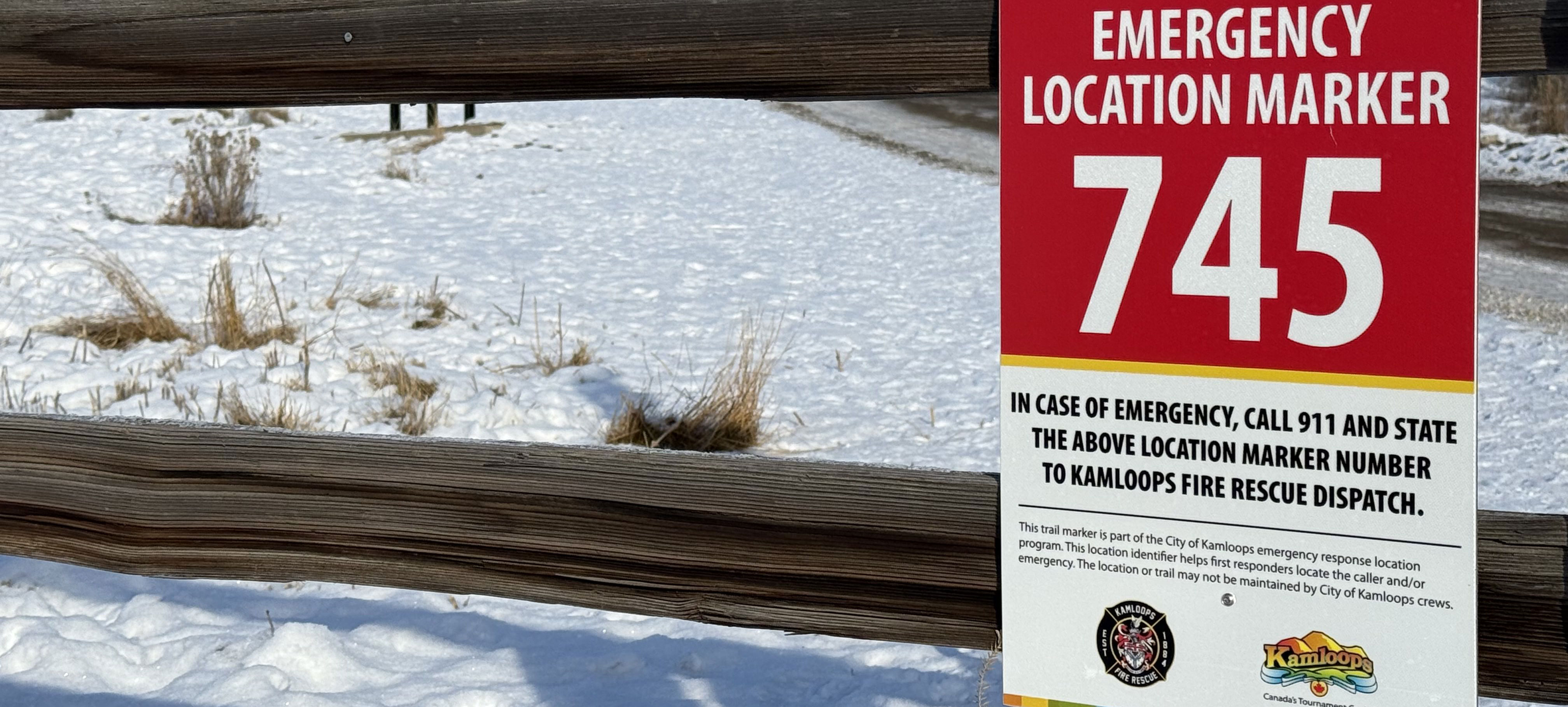
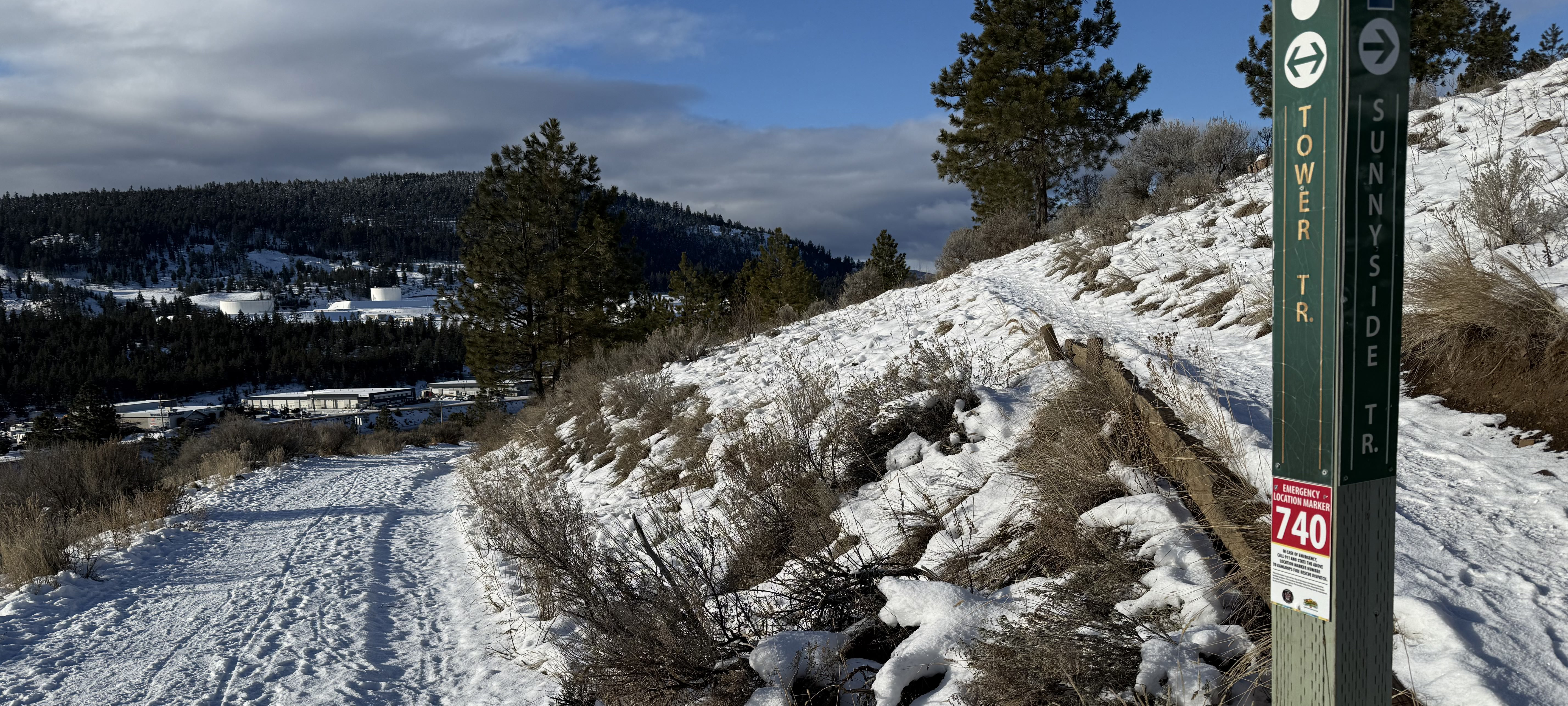
Unlike urban emergencies, where providing an address guides responders quickly, callers on the trails often struggled to describe their exact location. To address this, Kamloops Fire Rescue launched a trail marker location system inspired by successful initiatives in Sun Peaks and Port Coquitlam.
The system involves placing numbered emergency location markers at key trail intersections in popular areas such as Peterson Creek Nature Park, Kenna Cartwright Nature Park, Dallas-Barnhartvale Nature Park, Valleyview Nature Park, the Kamloops Bike Ranch, and the Pineview Recreational Trail Network, and within frequented locations above Batchelor Heights in Lac du Bois Protected Grasslands. These markers act like trail addresses. Users can provide the number on the closest marker when calling 911 if an emergency occurs. Dispatchers then relay the location to first responders, who can find the exact spot faster.
More than 80 markers have been installed, with plans to expand to the Rivers Trail system along Westsyde and near the Kamloops Airport in 2025.
Kamloops Fire Rescue encourages trail users to familiarize themselves with the markers and use them if they encounter an emergency. These small signs can make a big difference in saving lives and ensuring timely assistance for everyone enjoying the beauty of Kamloops’ outdoor spaces.